The river map of the Mekong - Vietnam’s fertile overflow
The upper reaches of the Mekong extend into China, and the river flows into the land of Vietnam after passing through Myanmar, Laos, Thailand and Cambodia. The Creator established two unique tri-border convergences along the Mekong’s flow: the Golden Triangle (Thailand - Laos - Myanmar) and the Pearl Triangle (Thailand - Laos - Cambodia).
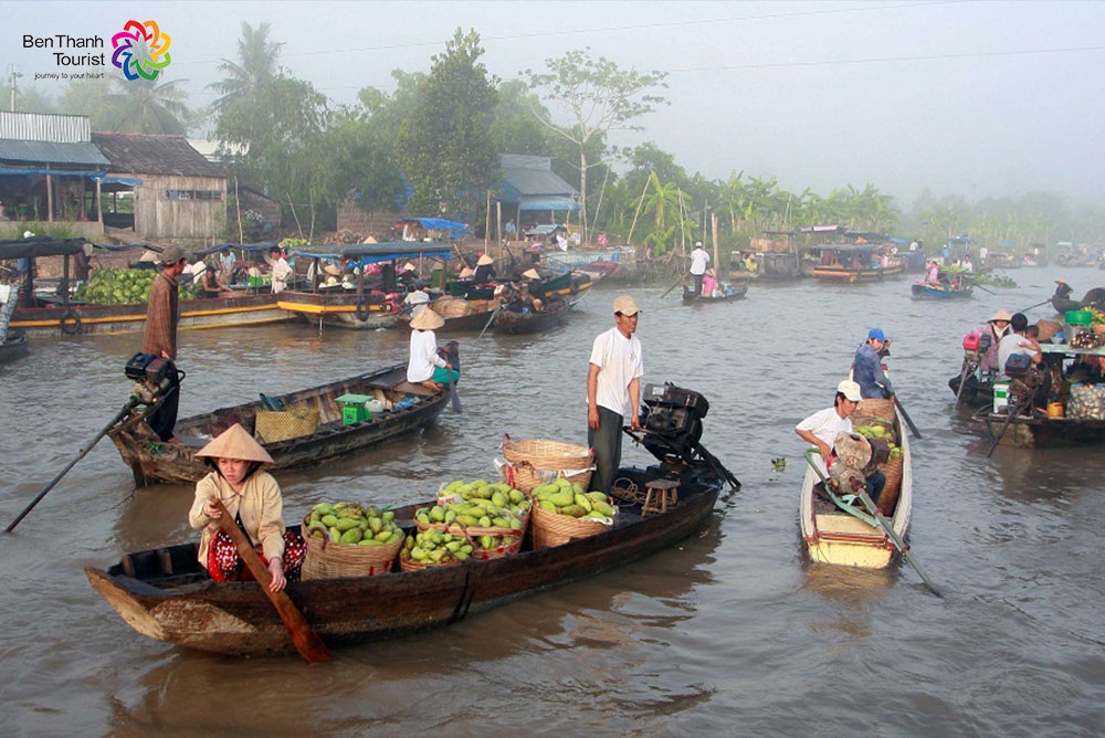
As the Mekong courses into Vietnam, it divides into two main rivers: Tiền Giang (meaning Upper River) and Hậu Giang (meaning Lower River). Further on, the Mekong gives birth to hundreds of rivers and canals throughout Southwest Vietnam. From these swells, many river islands, fields, farms, freshwater fishing grounds, floating markets and waterway traffic find their foundations.
In Vietnam, the Mekong is also generally called “Cửu Long”—a Chinese-Vietnamese word meaning “Nine Dragons”. This name is based on the imagery of the river’s multiple emptying points, like nine dragons flowing into the South China Sea (known in Vietnam as the East Sea). The alluviums of Cửu Long river enhance the soil quality in the Southwest, a fertile region called the Nine Dragons delta, also known as the Mekong delta.
Vietnamese river geography reveals a touching truth behind Vietnam’s role in nurturing the Mekong overflow. Three Vietnamese rivers, the Pathom (in the Northwest), the Xrê Pôk, and the Xe Xan (in the Western Highlands) connect with the Mekong outside Vietnam’s borders, nourishing the great river before it ever enters the country.
The Mekong is an important part of Vietnamese river culture. It bears witness to the stories of ancient kingdoms, reclamation and immigration. The Mekong is also an essential agricultural building block, establishing its own microcosm within the land of Southeast Vietnam: empires of rice plantations, rich cities of tropical fruits, downtown avenues of freshwater fishing, and quaint neighborhoods of river-borne lifestyles.